Posted 6 January 2015

The Connected Waters Initiative Research Centre team had a strong presence again this year at the AGU Fall meeting.
With over 25,000 delegates the AGU fall Meeting is the largest congress for the environmental earth science community and the ideal venue to showcase our research to the international research community.
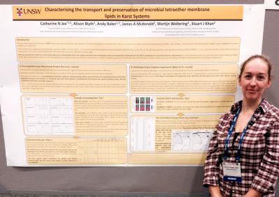
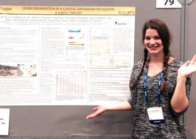
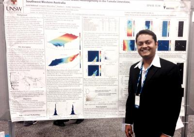
This year, the CWI was represented by postgraduate researchers Juan Carlos Castilla and Kashif Mahmud, honours graduate Ellen Howley, research associate Katie Coleborn and postdoctoral researcher Catherine Jex.
The team presented the results of their research projects supported by the Australian Research Council, the National Centre for Groundwater Research and Training and the CWI Gary Johnston Fund, and national collaborations with colleagues from the Australian Nuclear Science and Technology Organisation (ANSTO), NSW Office of Environment and Heritage, and CSIRO.
The presentations were: the application of lignin and lipid membrane biomarkers in the vadose zone of two carbonate geologies (Cath Jex), and a shallow coastal aquifer (Ellen Howley); the impact of wildfire on karst limestone (Katie Coleborn); the use of lidar data to characterise unsaturated zone flow into caves in the WA Tamala limestone (Kashif Mahmud).
Juan Carlos Castilla presented his research on agent based modelling and Kashif Mahmud on his image quilting approach to geostatistical analysis of hydrogeological properties.
Conference abstracts, some with downloadable e-posters, can be accessed here: http://fallmeeting.agu.org/2014/scientific-program/
Presentations by the CWI team:

Professor Andy Baker features in American Water Resources Association ‘Water Resources Impact’, September 2020 edition.

The Connected Waters Initiative (CWI) is pleased to welcome Taylor Coyne to its network as a postgraduate researcher. If you’re engaged in research at a postgraduate level, and you’re interested in joining the CWI network, get in touch! The CWI network includes multidisciplinary researchers across the Schools of Engineering, Sciences, Humanities and Languages and Law.

The Grand Challenge on Rapid Urbanisation will establish Think Deep Australia, led by Dr Marilu Melo Zurita, to explore how we can use our urban underground spaces for community benefit.

On the 21 August 2020, CWI researchers made a submission to the National Water Reform Inquiry, identifying priority areas and making a number of recommendations as to how to achieve a sustainable groundwater future for Australia.

Results published from a research project between the Land Development Department (LDD) Thailand and UNSW has demonstrated how 2-dimensional mapping can be used to understand soil salinity adjacent to a earthen canal in north east Thailand (Khongnawang et al. 2020).